Hydrology
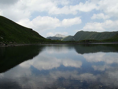
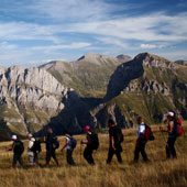
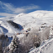
Water resources on Shar planina Mt. consist of numerous springs, steep mountain watercourses and many glacial lakes.
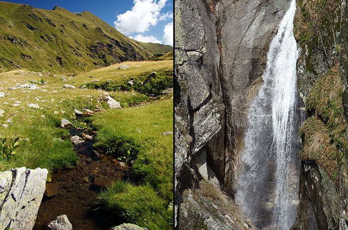
Springs – Springs at Shar Planina occur in the bases of taluses (screes), rubbles, rock cuttings, at bare slopes and elsewhere. There are several hundreads of springs, ninty among which, located on the southeastern side (territory of the Republic of Macedonia) are more prominent.
The spring in the cirque of Golemo Ezero (lake) at northeren slopes of Konjushka Planina in Kosovo is deemed to be the highest with its 2460 m.a.s.l.. The temperature of this spring is 5°C. The coldest spring water is found in the highest branch of Bogovinska Reka, at 2320 m.a.s.l. The temperature of this spring measured at several occasions in only 1°C.
The river of Pena has its headwaters on the southern side og the cirque Dzinibeg, in the grassland plateau at a height of more than 2400 m. The spring Kanjak is found southeast of Mal Turchin (2702 m), at 2198 m above sea level.
-
Watercourses – High number, probably more than hundred, smaller and bigger watercourses run from Shar Planina towards Polog. Springs of most of the major watercourses reach high altitudes of more than 2400 m. Most of them appear in a form of spring rills, composing a network of smaller streams. They flow into several main branches, which establish the main river. One of the best developed is the rill of Vratnichka reka river. its two branches to the entry into the river Ljubotenska Reka are created out of 48 symetrically expanding rills.
Almost all rivers of Šar Planina belong to the watershed area of Vardar River, and bigger ones enter into it. The following rivers are the most important: Vrutochka Reka, Jelovska Reka, Golema reka, Topushnica, Mazdracha, Bogovinska Reka, Kamenjanska reka, Uliverichka reka, Rachichka reka, Pena, Porojska reka, Neproshtenska Reka, Leshochka Reka, Tearechka Bistrica, Dobroshka Reka, Gabrovnica, Belovishka reka, Rakita etc. Some rivers on the southern part of Šar Planina (Adzina Reka, Kjaf Kadis, Crn Kamen and some smaller streams) belong to the watershed of Radika, i.e. the Adriatic basin. The river of Pena is the biggest tributary to Vardar formed on Shar Planina. It has the longest mountain watercourse with 29.7 km from the source to Tetovo. Its altitudinal difference is 1.914 m, with an average gradient of 6,44‰. The following rivers are the most significant tributaries to Pena: Krivoshiska Reka, Leshnichka Reka, Chepenovska Rekaа,Skakalska Reka, Karanikolska Reka, Brodechka Reka etc. - Glacial lakes – It is deemed that the part of the mountain belonging to the Republic of Macedonia accommodates around 30 lakes in total, out of which 21 are perennial.
The most prominent lakes have the following specific features:
- Dolnodobreshko Ezero has been created by atmospheric precipitation, but several small streams flow into it as well, which is the reason for the lake sustaining for a longer period.
- Gornodobreshko Ezero is smaller, but deeper than Lake Dolnodobreshko Ezero. It is fed by a spring located immediately above the lake and there is a small peat bog above it.
- The lake Karanikolichko Ezero is one of the most attractive lakes on Šara, situated on Karanikola area at an altitude of 2180 m. The lake Karanikolichko Ezero, or Golem Gjol, has no surface tributaries, but it accumulates water from numerous ground springs.
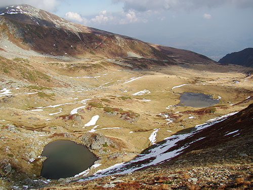
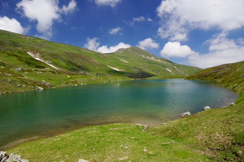
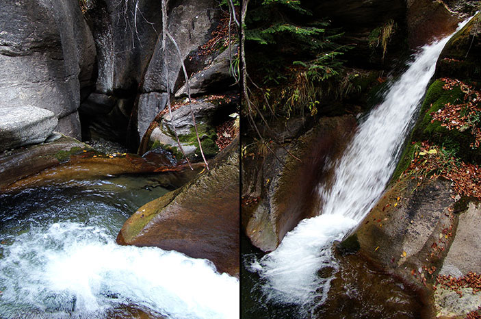
- Krivoshisko Ezero is maintained by the tributaries originating from several springs, and it is characterized by draining outflow. At somewhat more thant 300 m downwards, one of the most attractive waterfalls named Gorno Ckalo is situated on the stream Krivoshiska Reka.
- Belo Ezero has a constant water level, which is not dependant on rainfall precipitations. There are several springs around the shores of this lake, some of which are intermittent and some perennial. The lake has outflow which enters Bogovinska Reka.
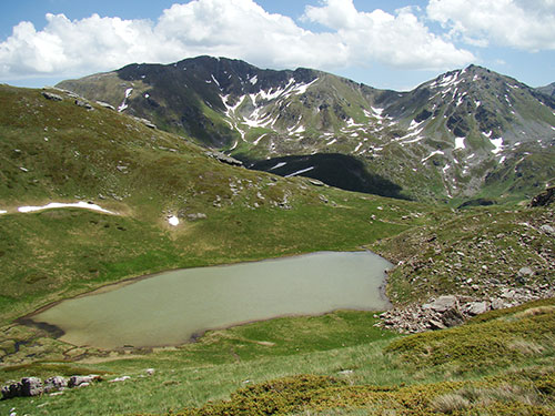
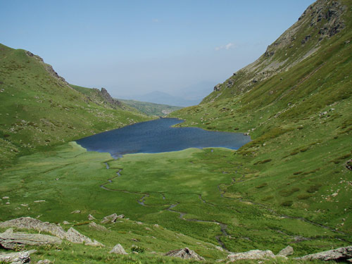
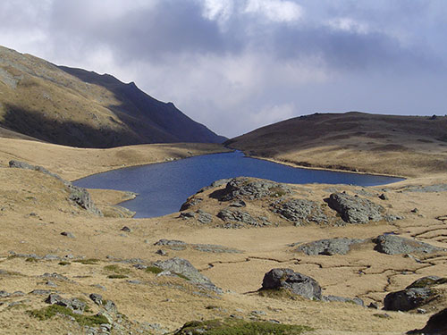
Apart from the glacial lakes, ther is a significant number of ponds on Shar Planina, among which the two ponds known under the name Chelepinski Bari (2315 m), than the ponds Rudochki Bari (2179 m), the ponds Fudanski Bari (2100-2150 m) and Vrachanski Bari (1975 m) are the most popular.
